Forgotten North Cobbinshaw
North Cobbinshaw mine and the lost settlement of Kipsyke
F19026, first published 29th June 2019
On a hillside, part way between the Pearie law and the abandoned farmstead of Kipsyke, two grass-covered mounds mark the site of a short-lived shale mine, and a lost community that served it. It’s a remote spot, and while there is a clear vista southwards towards the Pentlands, the view provides little evidence of roads or settlements. Only the occasional London-bound train, speeding through the landscape half a mile away, provides evidence of continuing human existence.
The North Cobbinshaw mine was begun in about 1870, and followed the Fells shale seam into the ground from its outcrop at the surface, leading to three levels of underground working. A sketch of the mine, held by the British Geological Survey, provides the only detailed record of the workings, and fortunately includes some sketchy information on surface installations. This shows a winding engine house close to the mine entrance, an adjoining boilerhouse and chimney, and a loop of railway sidings. The mine was abandoned in May 1873, and the two sausage-shaped grass mounds still protruding into the shallow valley provide testament to the relatively small volume of waste rock produced during a short working life.
The modest scale of the mine is in contrast with the railway branchline, over three quarters of a mile long, which linked the mine with the Caledonian railway at Cobbinshaw, where the North Cobbinshaw oil works were presumably sited. This survives as a wide and well-engineered trackway, following the contours of the land, and still serving as an access route and firebreak through the forest. The railway must have represented a major investment, and reflects the expectation that North Cobbinshaw would develop into a major mining centre.

Location of the mine, and railway branch line. Map images courtesy National Library of Scotland.
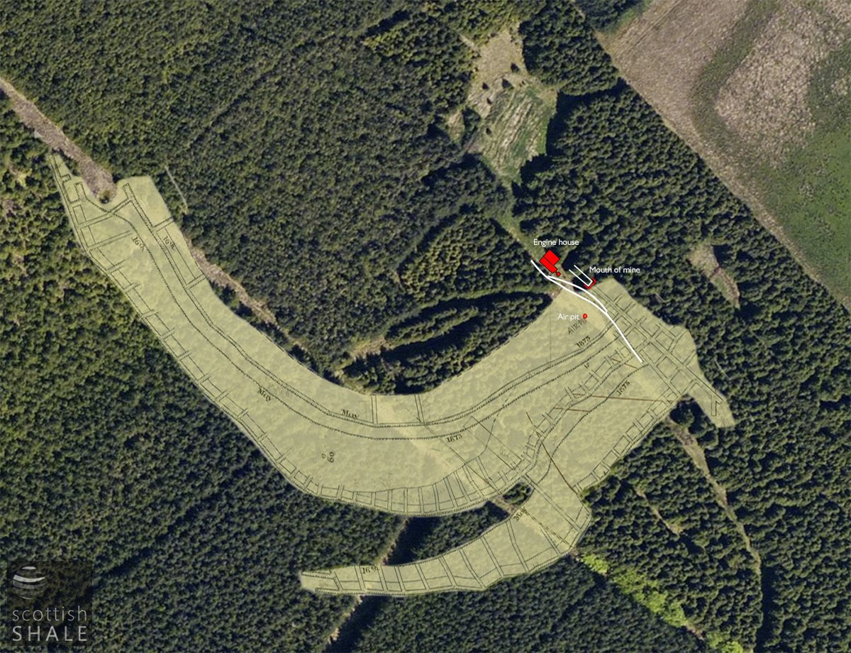
Mine plan and features overlaid on an aerial view (prior to clearance of trees).
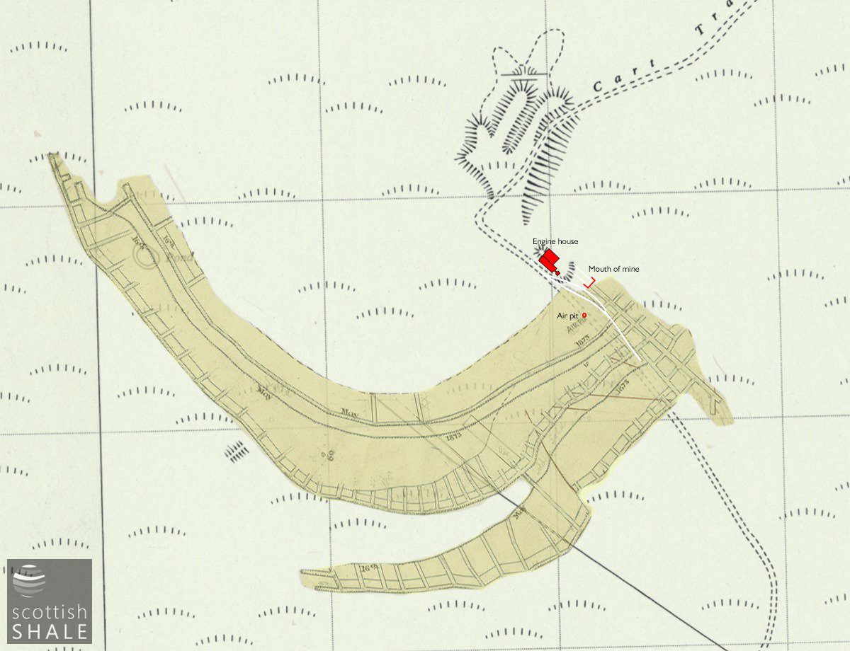
Mine plan and features, overlaid on 1950's OS map, courtesy National Library of Scotland.

Mine plan, courtesy British Geological Survey.
A temporary village of eight huts, (presumably makeshift timber structures) were hurried constructed to house miners and their families. 52 men, women and children were recorded as residents of Kipsyke Huts in the 1871 census. Presumably these buildings were sited close to North Cobbinshaw mine, but are not marked on any known map
The oil business at North Cobbinshaw was a partnership between coal master Thomas Thornton and members of the Mungal family; West Calder merchants and farmers. In a bold move, the partners attempted to float the enterprise as a public company. In 1872 large advertisements appeared across the front page of national newspapers seeking investment of £150,000 in the grandly-titled “Scottish Mineral Oil and Coal Co. Ltd”. This failed to secure necessary funds, and operations at North Cobbinshaw seem to have been wound down the following year.
The Kipsyke huts lay empty following closure of the mine, but were then leased for a brief period to house coal miners employed by the Coltness Iron Company. Presumably the new residents trudged each day the mile to Cobbinshaw station, caught a train to Auchengrey or Heywood, then walked further to their place of work.
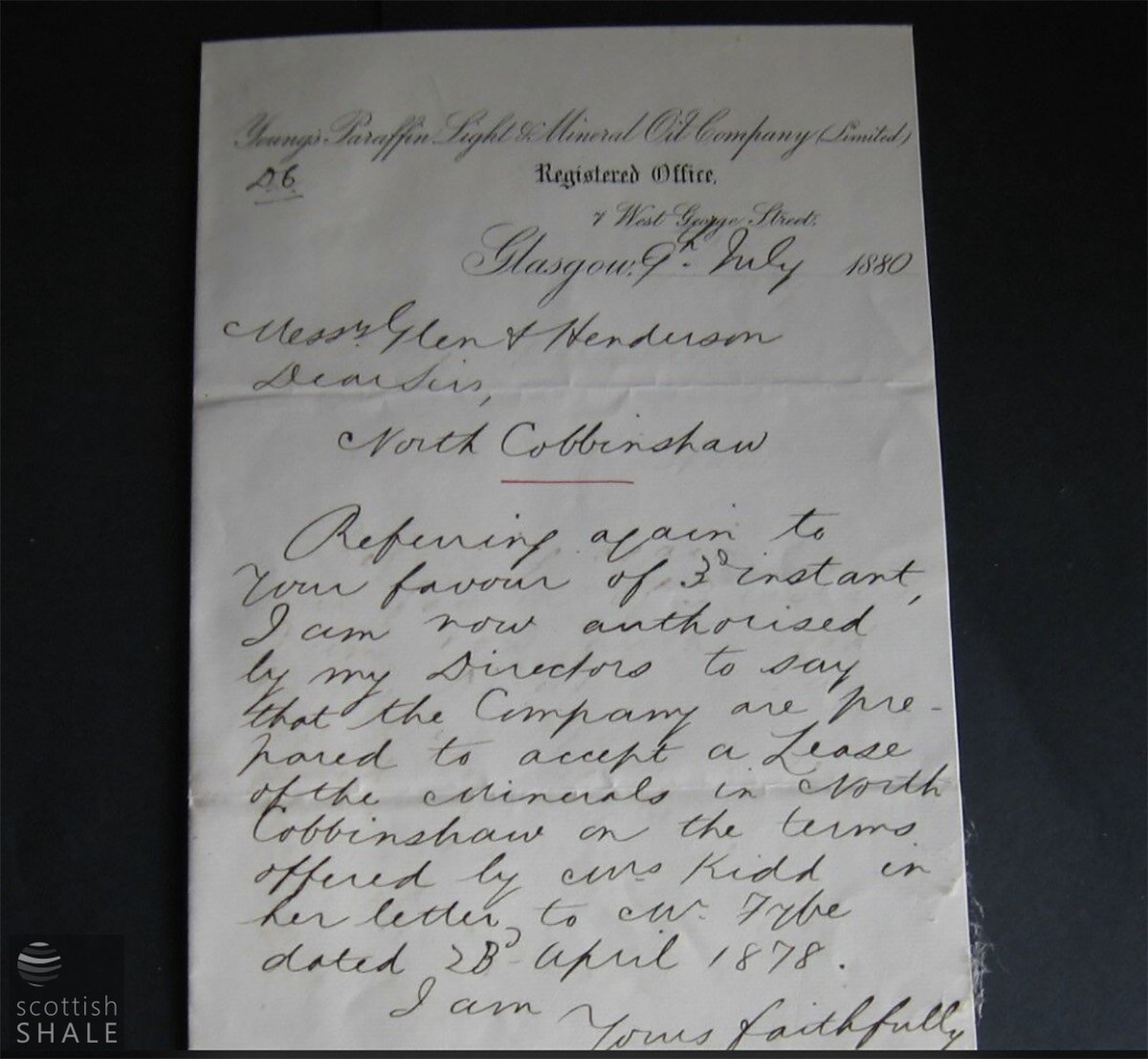
Both the Oakbank Oil Company and Young’s Paraffin Light and Mineral Oil Company subsequently explored shale reserves at North Cobbinshaw, but neither considered them worthy of further working.
Little trace of North Cobbinshaw remained by the time of the 1896 edition of the Ordnance Survey map, and in recent years most of this former moorland was transformed by commercial forestry. Only the former mine waste tip remaining un-planted as a clearing in the forest.
Last year, the forest around the mine site were felled, once again revealing the contours of the land and the layout of the industrial remains. Holes dug to plant the next generation of trees have served like archaeological test pits, bringing to the surface debris that has been buried for the last 140 years. Handmade red brick, of an unusual perforated type, emerge in places where the engine house and other structures are shown on the mine plan. There’s a scattering of yellow firebrick, and a bank of ash and char that will have been discarded from the boiler supplying steam to the winding engine. There are occasional red bricks among the clay soil to the east of the mine tip, on an area of flatter ground that could have provided a good site for temporary housing. However, no bones, bottles, clay pipes and other domestic debris were evident, that might have confirmed this as the site of the enigmatic Kipsyke huts.
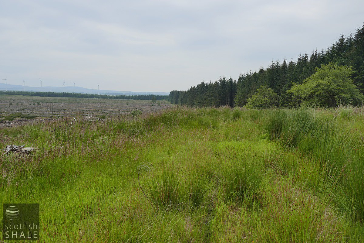
Site of railway sidings at mine site; the site of the mine entrance is in the grass on the left of this image.

Two long parallel mounds of waste shale from the mine.
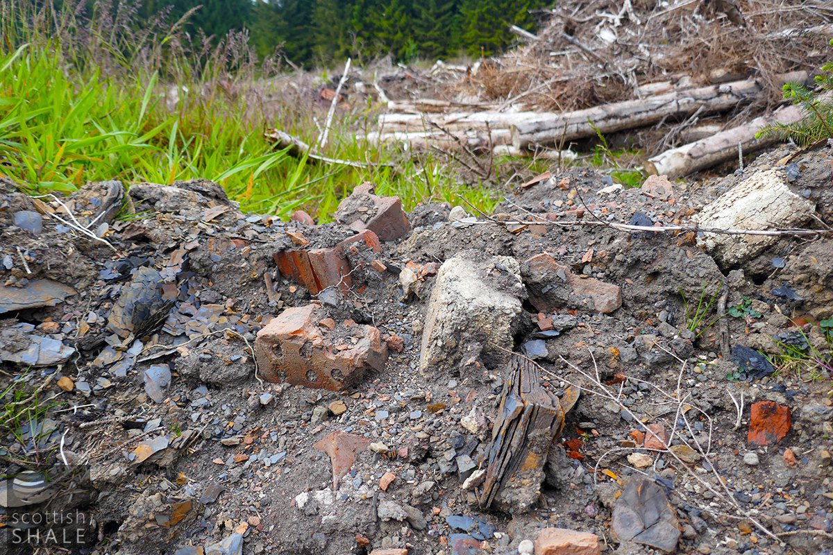
Industrial debris - red building brick, yellow fire brick and chunks of waste shale.


The unusual red brick with multiple holes, found throughout the site.
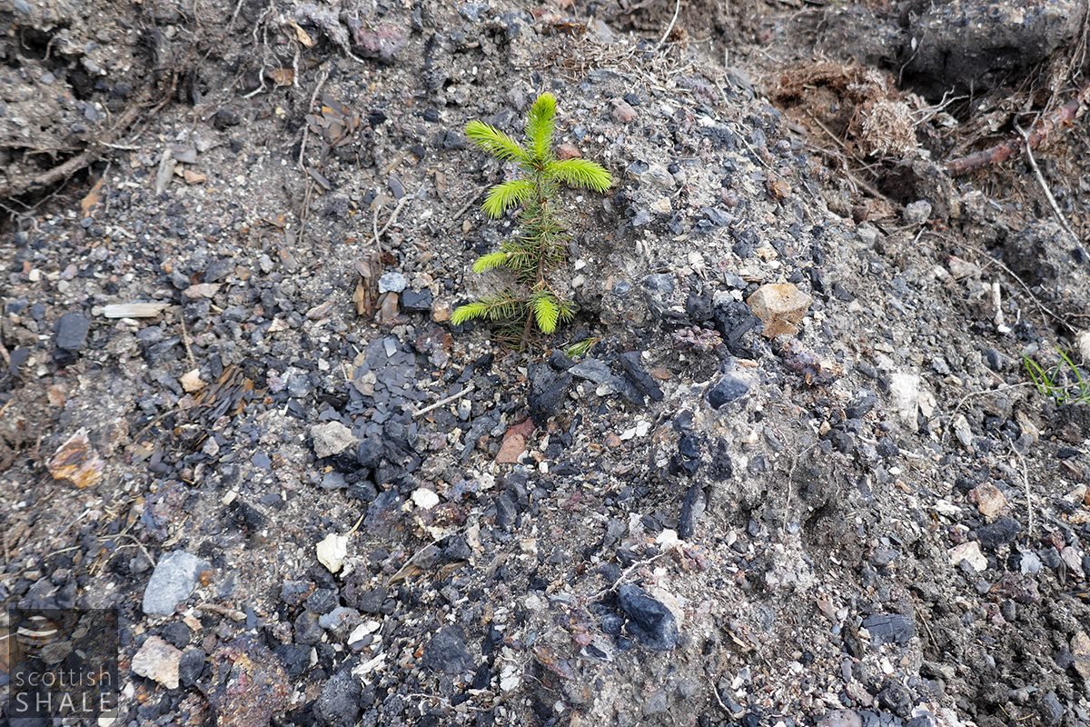
New life springs from boiler ash, near the site of the winding engine.
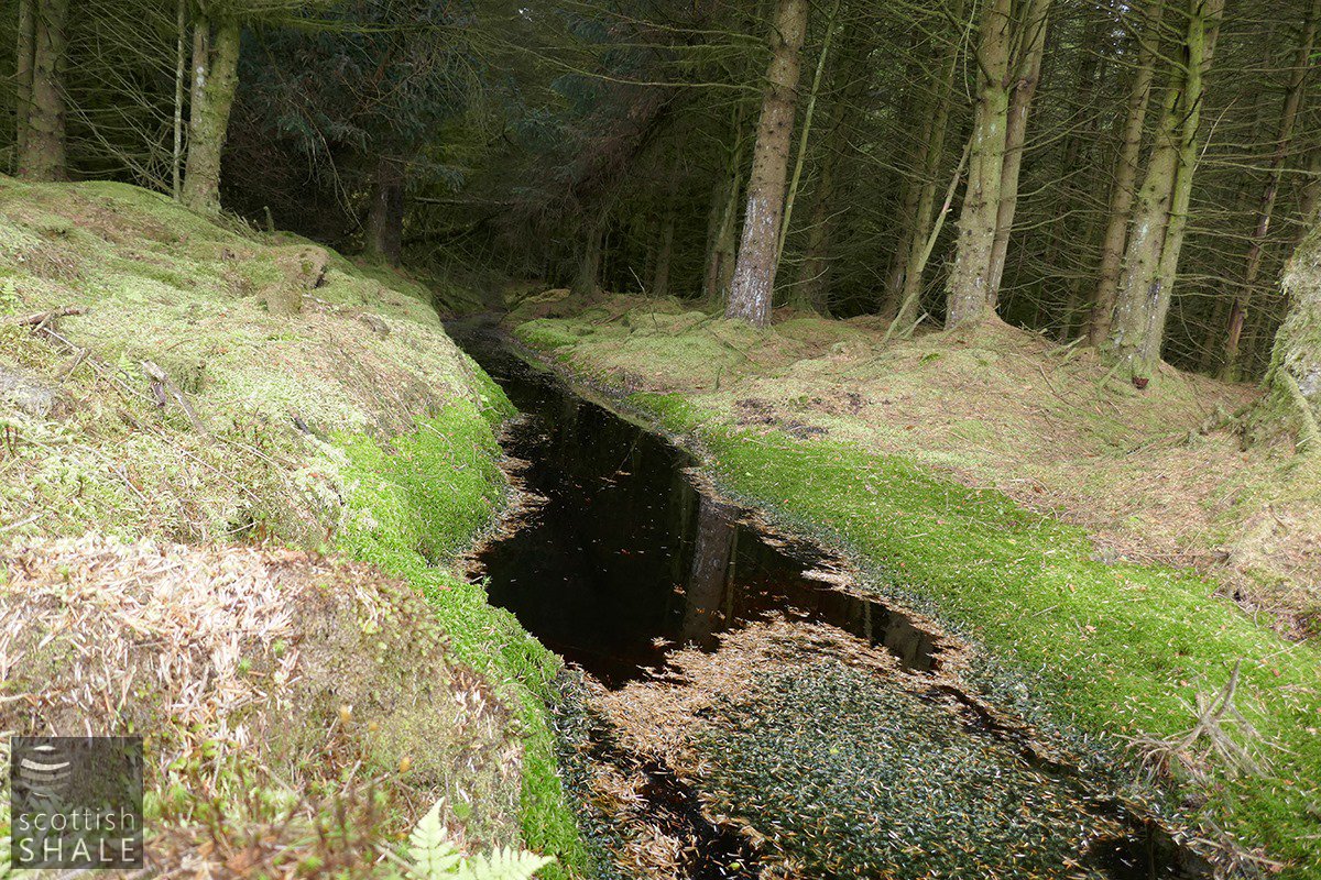
A drainage ditch through the forest, close to the site of a "pond" marked on old maps - perhaps a sink hole into the shale workings beneath. It seems scarily deep.

The route of the branch railway, now forming a firebreak in the forest.
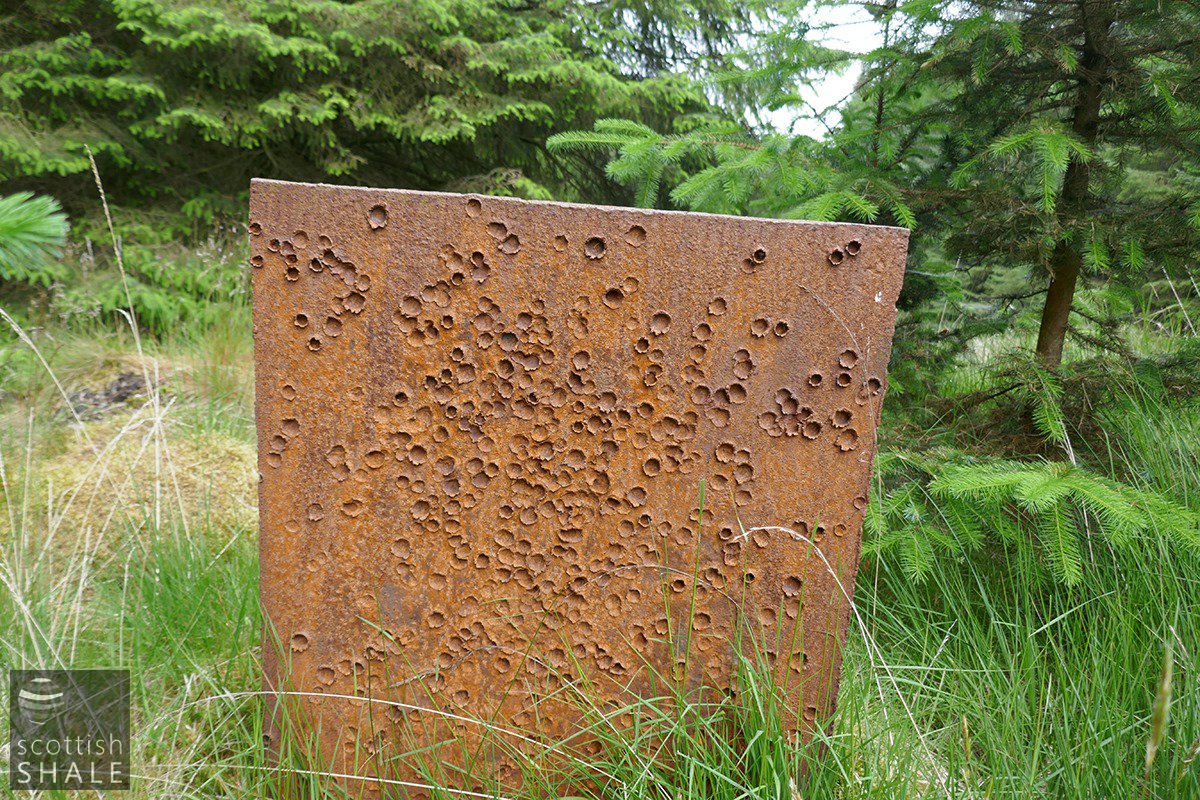
Not, unfortunately, a mining relic - this flame-cut piece of steel plate is likely to be much more recent. It's set up in the ground a little to one side of the route of the railway, presumably for target practice?

