- Aberdeen Oil Works
- Addiewell Oil Works
- Almondhill Oil Works
- Annick Lodge Oil Works
- Arden Oil Works
- Armadale Oil Works
- Auchenheath Oil Works
- Avonhead Oil Works
- Balgray Oil Works
- Ballat Oil Works
- Bathgate Oil Works
- Bathville Oil Works
- Bellsdyke Oil Works
- Bellsquarry Oil Works
- Benhar Oil Works
- Binnend Oil Works
- Birkenshaw Oil Works
- Bishop Street Oil Works
- Blackburn Oil Works
- Blackstone Oil Works
- Blackstoun Oil Works
- Blochairn Oil Works
- Boghall Oil Works
- Bredisholm Oil Works
- Breich Oil Works
- British Asphalte Oil Works
- Broxburn Oil Works
- Broxburn - Bell's Stewartfield Oil Works
- Broxburn - Albyn Oil Works
- Broxburn - East Mains Oil Works
- Broxburn - Greendykes Oil Works
- Broxburn - Hallfarm Oil Works
- Broxburn - Hutchinson's Oil Works
- Broxburn - Poynter's Oil Works
- Broxburn - Steele's Oil Works
- Broxburn - Steele's Stewartfield Oil Works
- Buckside Oil Works
- Burngrange Oil Works
- Calderbank Oil Works
- Canalbank Oil Works
- Champfleurie Oil Works
- Clippens Oil Works
- Cobbinshaw North Oil Works
- Cobbinshaw South Oil Works
- Coneypark Oil Works
- Craigie Oil Works
- Crown Point Oil Works
- Dalmeny Oil Works
- Deans Oil Works
- Doura Oil Works
- Drumbow Oil Works
- Drumcross Oil Works
- Drumgray Oil Works
- Dryflat Oil Works
- East Fulton Oil Works
- East Hermand Oil Works
- Eldin Oil Works
- Falkirk Oil Works
- Fergushill Oil Works
- Forthbank Oil Works
- Forth & Clyde Oil Works
- Gavieside Oil Works
- Grange Oil Works
- Grangepans Oil Works
- Greengairs Oil Works
- Hareshaw Oil Works
- Hartwood Oil Works
- Hawick Oil Works
- Hermand Oil Works (1866)
- Hermand Oil Works (1883)
- Holmes Oil Works
- Hopetoun Oil Works
- Hurlford Oil Works
- Inkerman Oil Works
- Inverkeithing Oil Works
- Kilrenny Oil Works
- Kilwinning Oil Works
- Kirkmuirhill Oil Works
- Kirkwood Oil Works
- Lanark Oil Works
- Lanemark Oil Works
- Levenseat Oil Works
- Limerigg Oil Works
- Linwood Oil Works
- Loanhead Oil Works
- Lochburn Road Oil Works
- Lochgelly Oil Works
- Longrigg Oil Works
- Magdalene Oil Works
- Methil Oil Works
- Millburn Oil Works
- Nettlehole Oil Works
- Niddry Castle Oil Works
- Nitshill Oil Works
- Oakbank Oil Works
- Palacecraig Oil Works
- Pathhead Oil Works
- Patterton Oil Works
- Pentland Oil Works
- Philpstoun Oil Works
- Port Dundas Oil Works
- Possil Oil Works
- Pumpherston Oil Works
- Raebog Oil Works
- Riggend Oil Works
- Rochsoles Oil Works
- Rochsolloch Oil Works
- Roman Camp - Almondfield Oil Works
- Roman Camp - Cawburn Oil Works
- Roman Camp Oil Works (1892)
- Roman Camp - Shale Oil Works
- Rosebank Oil Works
- Roughcraig Oil Works
- Rumford Street Oil Works
- Seafield Oil Works
- Shawsburn Oil Works
- Sheepford Locks Oil Works
- Shettleston Oil Works
- Shotts Oil Works
- Stand Oil Works
- Stanrigg Oil Works
- Stonehouse Oil Works
- Straiton Oil Works
- St. Rollox Works
- Swinehill Oil Works
- Tarbrax Oil Works
- Uphall Oil Works
- Uphall - Railway Oil Works
- Uphall - Wyllie's Oil Works
- Vulcan Chemical Works
- Wardend Oil Works
- Wattston Oil Works
- Westfield & Capeldrae Oil Works
- Westwood Oil Works (1941)
- Westwood Oil Works (1866)
- Whitebog Oil Works
- Whitehill Oil Works (Lanarkshire)
- Whitehill Oil Works (Midlothian)
- Whiterigg Oil Works
- Woodhall Oil Works
Westwood Oil Works (1866)

Redwood refers to "Stewart's Oil works" on the "Stewart Estate", West Calder, which operated between 1863 and 1865
Landowner Captain Robert Steuart advertised the lease of minerals in his lands of Westwood and Westwood (Breichdykes) in August 1864, noting that the site was "well suited for an extensive Mineral Oil Work". Presumably no attractive responses were received as Steuart chose to developed mines and a oil works himself, under the titles Robert Steuart & Co. and Westwood Oil Co. When the Caledonian Railway company's West Calder loop line was under construction, a report in the Scotsman of 26th November 1868, indicated that the railway "will shortly be connected with (the oil works) belonging to Mr Stewart of Westwood". Workers housing - Westwood old rows - was built in the most distant corner of the estate. Very little is known about the oil works, which first appeared in valuation rolls in 1866. Court of Session papers, CS96/5038, held in the National Archives of Scotland include plans and correspondence between Robert Steuart and C H Pennycook and Company, engineers, Glasgow, after oil works condensers supplied by Pennycook failed to meet requirements. The works remained intact until about 1871, at which time mineral rights, and Westwood Rows, were leased to Young's Paraffin Light and Mineral Oil Co. Ltd.
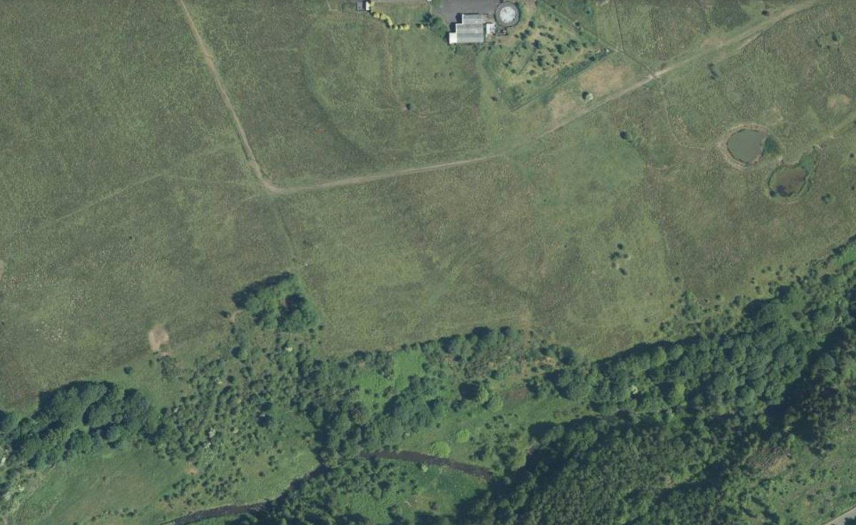
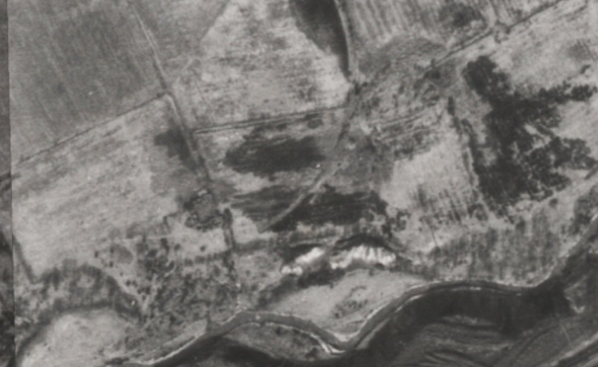
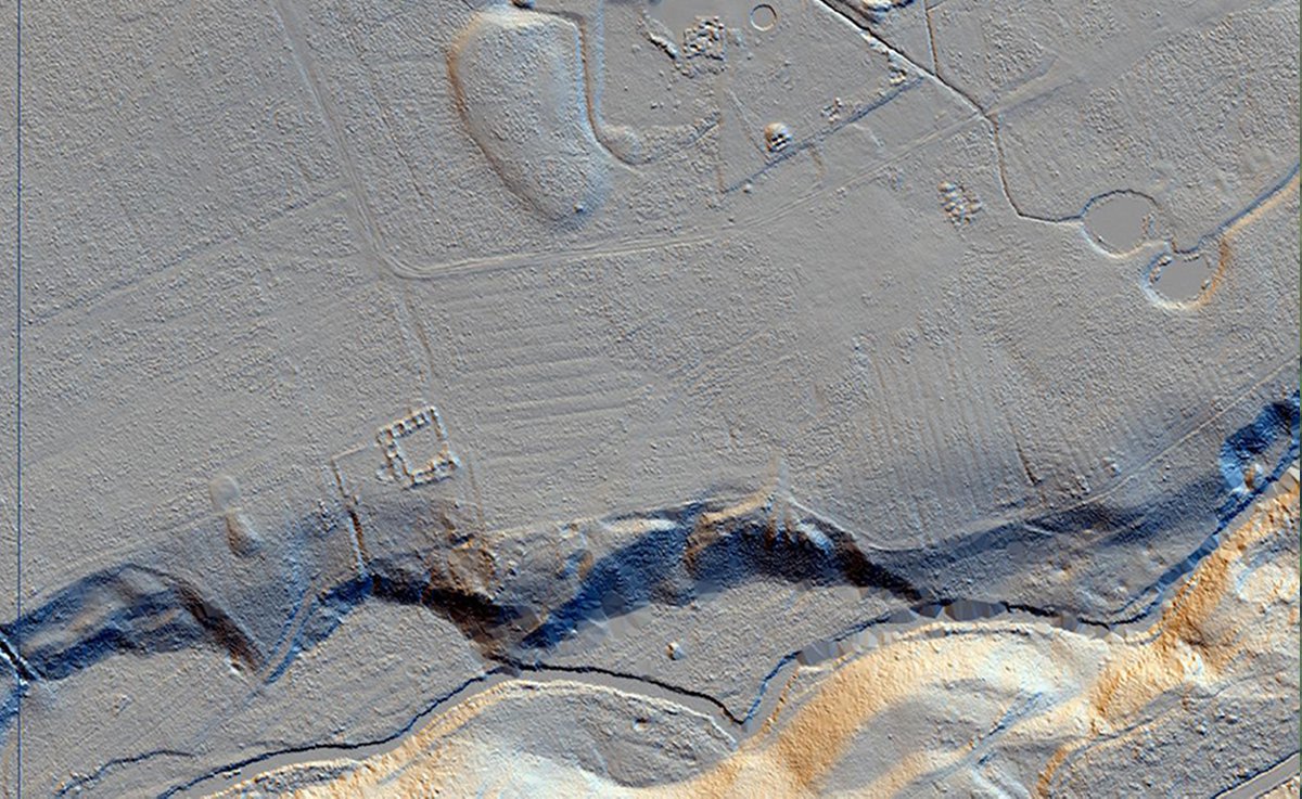
No map showing the location of the works is known to exist, and the second edition OS map, surveyed in 1895 provide few clues as to the site of the works or route of the railway branch that served it. Various "old shafts" are marked in the area, some of which are also shown on the 1856 survey and likely to represent old coal workings. Aerial photographs from about 1950 clearly show the curving route of the branch railway, presumably picked out in contrasting vegetation, and also a contrasting area of waste tipped down the steep-sided valley of the Breich Water.
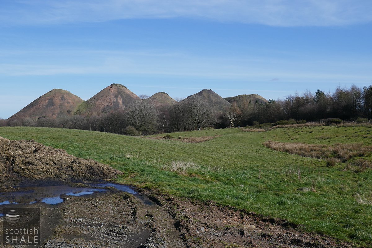
Today, several areas of weathered and concreted masses of spent shale remain apparent on the valley side, likely to represent a succession of points where spend shale was dumped into the valley. A curved section of low embankment marks the route of the branch railway north of the A7015, but to the south of the road the route has been obliterated by construction of the ill-fated Freeport shopping outlet. Further south, any surviving traces of the railway route, and the site of the oil works, have been buried beneath moss and reeds.
Related pages
Westwood west lands | Westwood east lands | Westwood old rows | Breichdykes pits
| Date | Rateable Value | Owner | Occupier | Notes |
|---|---|---|---|---|
| 1866-67 | £131.12/- | Robert Stewart & Company | Robert Stewart & Company | Works |
| £300 | Shale | |||
| 1868 | £100 | Capt Robert Stewart & Company | Westwood Oil Company | Works |
| No minerals listed | ||||
| 1869 | £200 | Capt Robert Stewart | Westwood Oil Company | Works |
| £300 | Capt Robert Stewart | Westwood Oil Company | Mineral | |
| 1870 | £200 | Capt Robert Stewart | Westwood Oil Company | Works |
| £500 | Capt Robert Stewart | Westwood Oil Company | Minerals | |
| 1871 | £100 | Capt Robert Stewart | Westwood Oil Company | Works |
| £1644 | Capt Robert Stewart | Young's Paraffin Light & Mineral Oil Company Ltd | Minerals | |
| 1872 | -- | Capt Robert Stewart | Unlet | |
| £1644 | Capt Robert Stewart | Young's Paraffin Light & Mineral Oil Company Ltd | Minerals | |
| NO FURTHER ENTRIES |
Maps and aerial images
General vicinity

Annotated 25" map

25" OS map, c.1895, courtesy National Library of Scotland
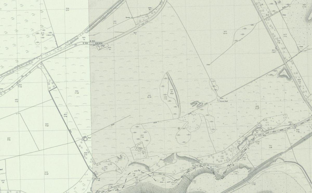
1:2500 OS map, c.1958, courtesy National Library of Scotland
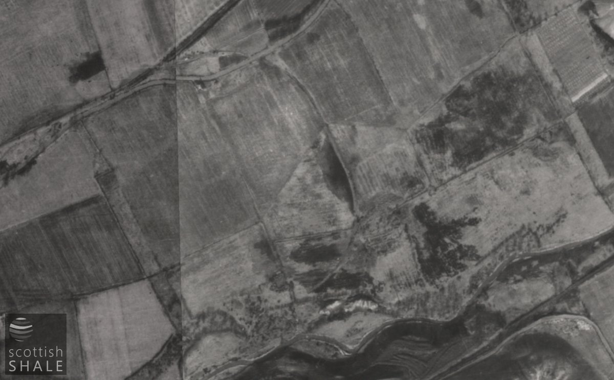
Aerial view c.1950
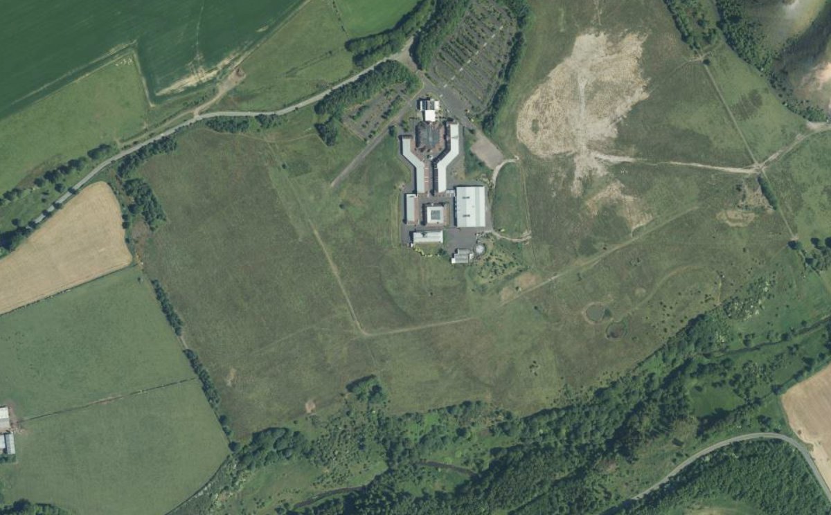
Aerial view
Oil works site
Recent images
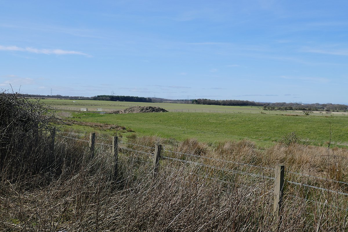
Possible site of the oil works

View looking west across the possible oil works site, towards Breichdykes farmhouse (marked by clump of bushes)
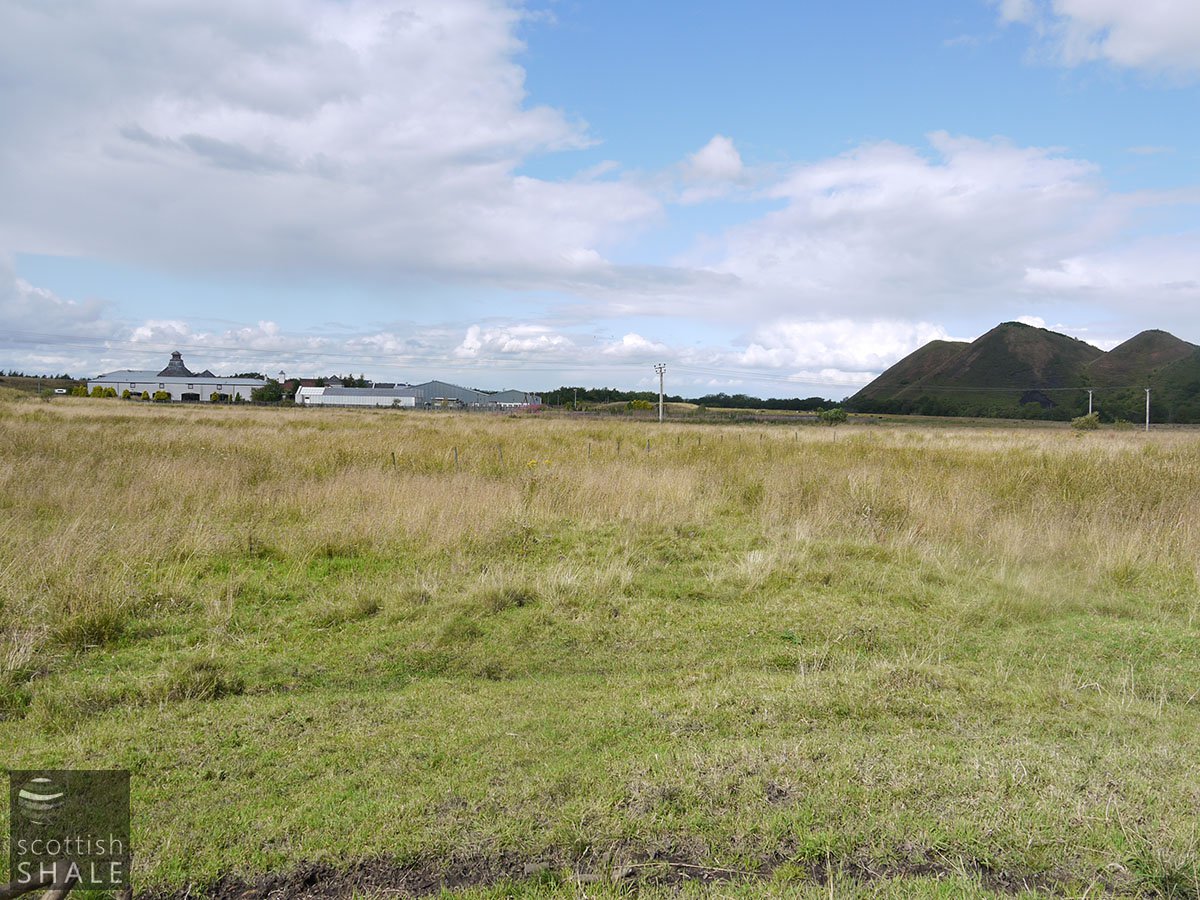
View north across the possible oil works site, towards the closed Freeport shopping centre
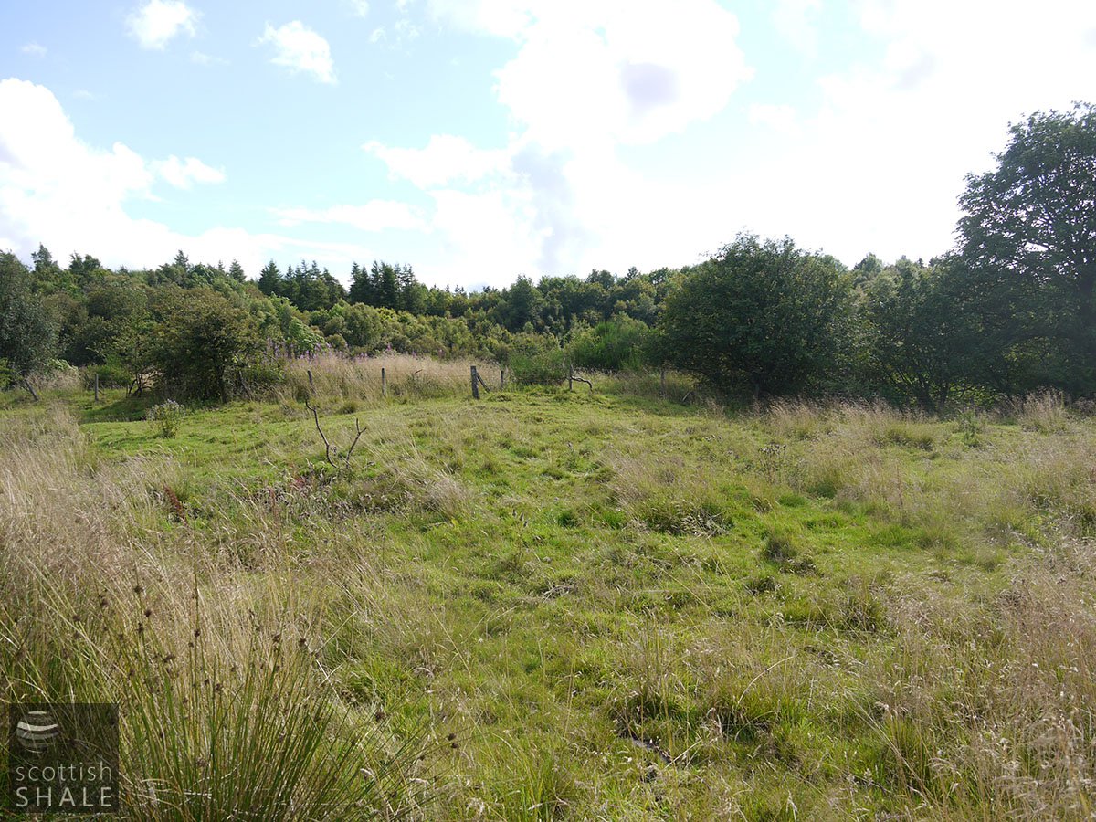
View south towards the tip points in the valley of the Breich water.
Spent shale tip site in the valley of Breich water

View of spent shale tip from south of Breich Water 21/03/21
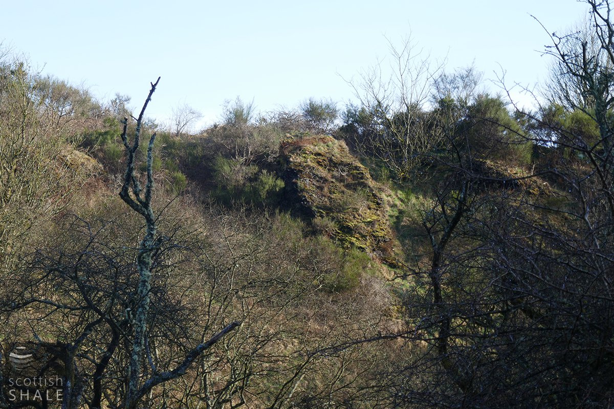
View of spent shale tip from south of Breich Water 21/03/21

View of spent shale tip from south of Breich Water 21/03/21
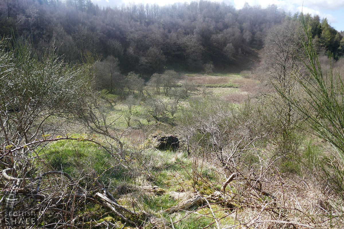
View from top of a tip point, with fused block of blaes, 14/04/2021
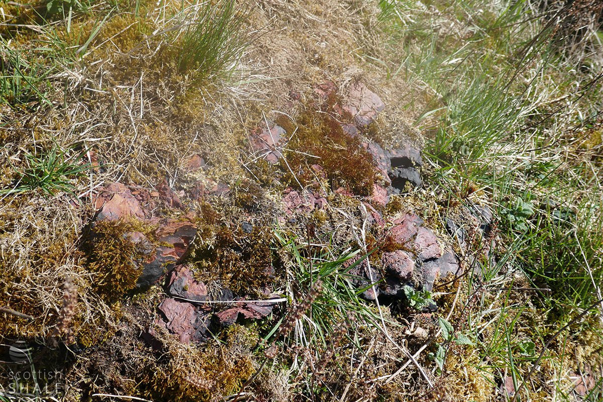
Fused block of blaes, 14/04/2021
Traces of masonry
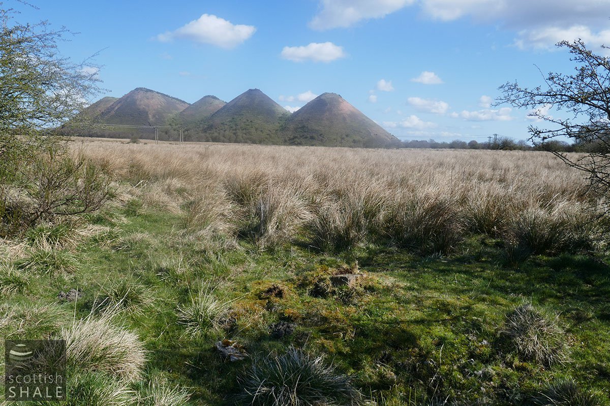
Site with fragments of masonry 10/04/2021
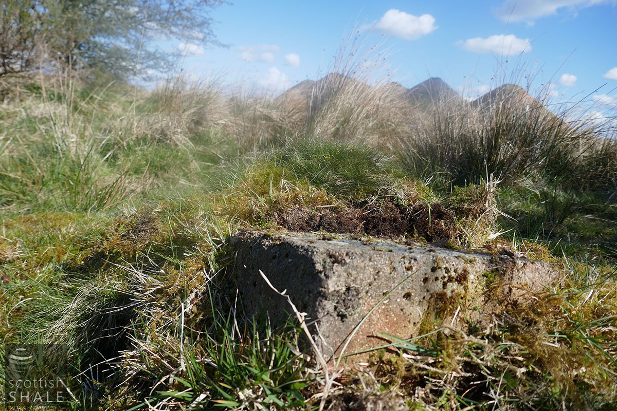
Firebrick, 10/04/2021
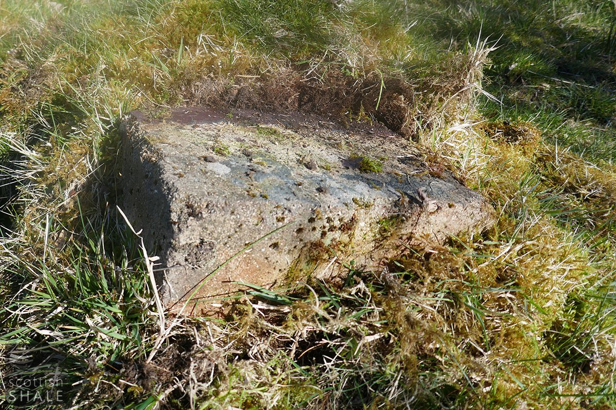
Close-up of firebrick showing vitrified surface, 10/04/2021
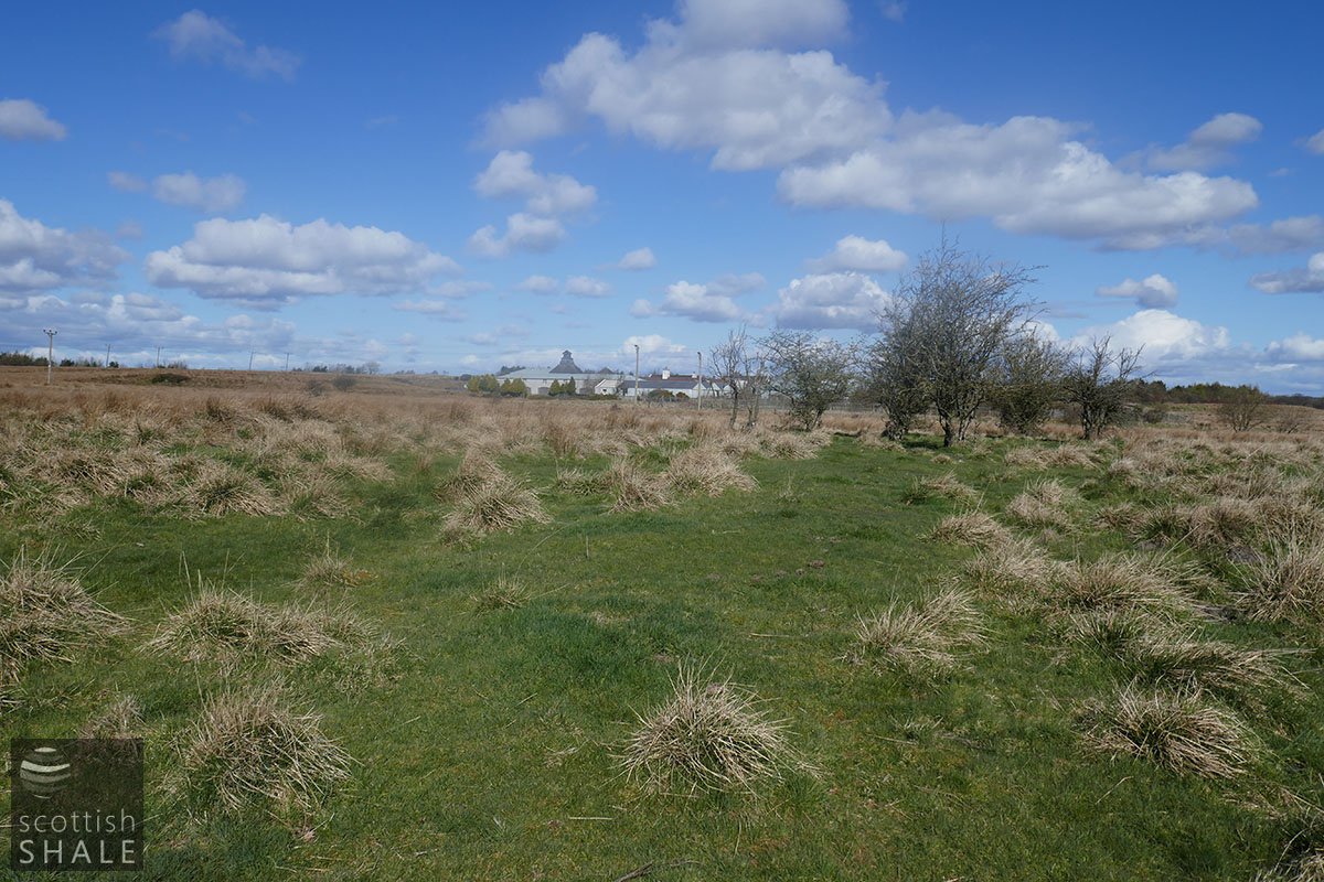
View looking north, 10/04/2021

Aerial view with location of masonry marked, 10/04/2021


